
This photogenic river winds down from the high Cordilleras to the flat lands along the border of the provinces of La Union and Pangasinan, then ultimately discharges to the South China Sea at San Fabian town.
Nature dictates that flowing water follows the path of least resistance. This perhaps guided the designers and builders of the Kennon Road early last century - the picturesque access to Baguio City was constructed by the side of the Bued River, following it to the mountains like a twin snake. Why the need to level mountains, when you can follow a clear path already carved out by water rampaging seasonally over millions of years?
Here's presenting the river in two ways:
First, during a lightning storm in the early evening.
 | ||
| Shooting info - Brgy. Camp I, Rosario, La Union, September 30, 2019 at 8:18 pm, DJI Mavic 2 Pro, 10.30 mm, ISO 100, 4 sec, f/2.8, manual exposure in available light, near full frame resize to 800 x 533. |
| Link to high-res 1800 x 1200 version |
Second, covered with a layer of fog early in the morning.
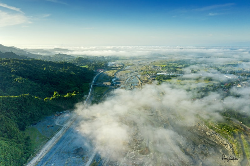 |
| Shooting info - Brgy. Camp I, Rosario, La Union, October 5, 2019 at 6:53 am, DJI Mavic 2 Pro, 10.30 mm, ISO 100, 1/320 sec, f/6.3, manual exposure in available light, near full frame resize to 800 x 533. |
No comments:
Post a Comment